Be among trailblazing marketing pros at Brandweek this September 23–26 in Phoenix, Arizona. Experience incredible networking, insightful sessions and a boost of inspiration at ADWEEK’s ultimate brand event. Register by May 13 to save 35%.
Google is always testing the limits of its all-seeing eye, and the tech giant's newest project puts its relentless reach to good use.
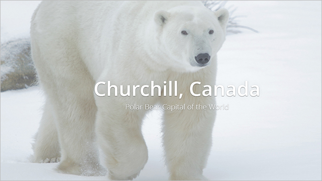
Partnering with Polar Bears International to raise awareness of the species' plight amid a changing climate, Google Maps has created a series of Street View images taking you on a tundra tour of the "polar bear capital of the world," Churchill, Canada.
In a guest post on Google's blog, Polar Bear International chief Krista Wright describes what it took to create a 360-degree look at this incredibly isolated region:
"The Google Maps team mounted the Street View Trekker onto a specially designed 'Tundra Buggy,' allowing us to travel across this fragile landscape without interfering with the polar bears or other native species.

WORK SMARTER - LEARN, GROW AND BE INSPIRED.
Subscribe today!
To Read the Full Story Become an Adweek+ Subscriber
Already a member? Sign in

