


Hurricane Ida is poised to strike Southern Louisiana and the Mississippi Gulf Coast on Sunday afternoon, which just so happens to be the 16th anniversary of Hurricane Katrina, a tragic event which led to the deaths of more than 1,800 people and changed the city of New Orleans and region forever.
Like it always does, The Weather Channel (and other cable news networks) will have crews stretched out across the region as the horrific Category 4 hurricane approaches mainland.
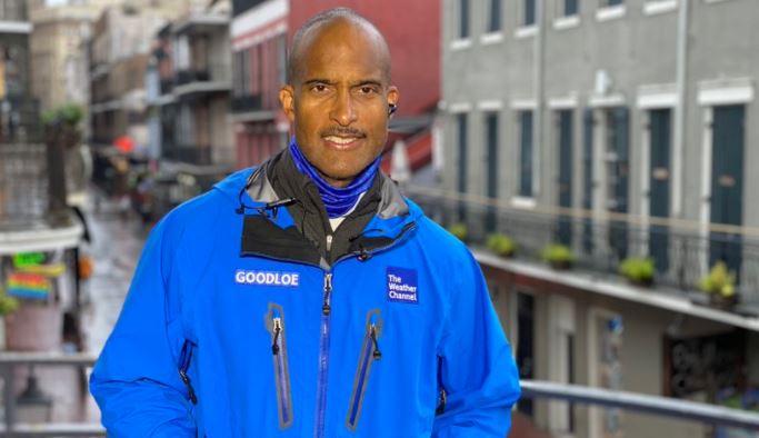
For TWC, Jim Cantore, Reynolds Wolf and Paul Goodloe are stationed in New Orleans. Stephanie Abrams, Charles Peek and Mike Seidel are in Morgan City, southwest of New Orleans and where the eye appears to be heading toward (as of Sunday morning). Jacqui Jeras is in Baton Rouge, the state’s capital which is west and north of NOLA, while Tevin Wooten and Justin Michaels are on the Mississippi Gulf Coast.
Gulfport, Mississippi is experiencing the beginning stages of #stormsurge flooding from #Ida. The forecast is for 6-9’ of storm surge, meaning water above normally dry ground. The Gulfport Marina is inundated with flood waters right now. @weatherchannel is live 🌀 pic.twitter.com/palsp7IstO
— Justin Michaels (@JMichaelsNews) August 29, 2021
Our continuous coverage of Hurricane #Ida is just getting started. We have meteorologists all along the Gulf Coast to bring you the latest on the storm.
Join us for live coverage and analysis all day long. pic.twitter.com/dhT10M093G
— The Weather Channel (@weatherchannel) August 29, 2021
Here’s what Ida looks like (path-wise) as of 10 a.m. ET/9 a.m. local time Sunday. The storm is forecasted to strike mainland Sunday late-afternoon.

Storm surge flooding is already ongoing in some parts of the state, notably Grand Isle, La., on Sunday morning:
Grand Isle: Video from home surveillance; only road off island is flooding. Parish says 28 people chose to stay on the island for the duration of #hurricanida pic.twitter.com/nzWWWe3oqv
— Jennifer Crockett (@CrockettWDSU) August 29, 2021
I desperately wish the forecast hadn’t become reality. Rapid intensification to cat 4 or 5 right before landfall is the hurricane scenario we’ve always dreaded the most. Shelter like you would for a tornado! #Ida pic.twitter.com/ZHqfIno56h
— Dr. Rick Knabb (@DrRickKnabb) August 29, 2021
We’ll continue to update this post throughout the day.